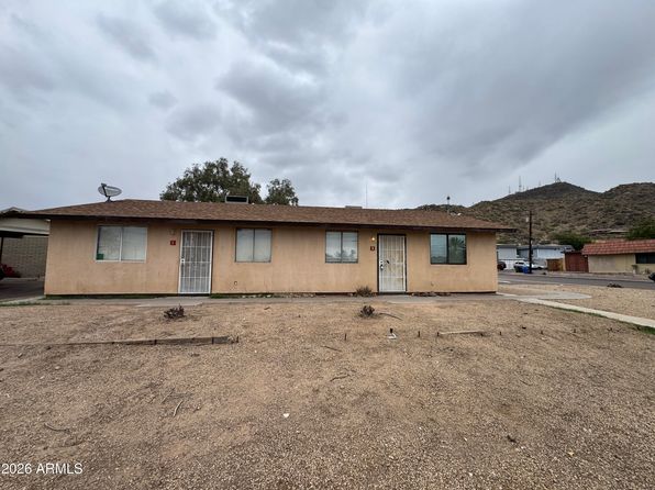
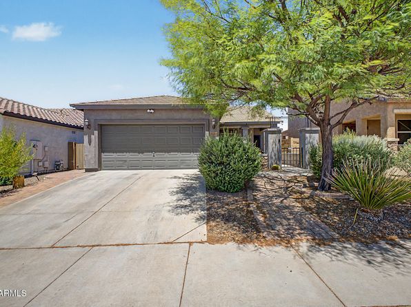
Crime & Safety Report for 1652 W STRAIGHT ARROW Lane, Phoenix, AZ 85085

Review crime and safety information near 1652 W STRAIGHT ARROW Lane, Phoenix, AZ 85085. HoodScore summarizes nearby reported incidents, registered sex offenders, and neighborhood safety indicators to help buyers and renters perform better location due diligence.

Generated At — 2026-07-26
Distance rings: 1 mi and 2 mi from the property.

PropertyIncidentsOffenders

Unlock the full safety report before making a decision about this neighborhood.

Full report contains 76 offenders within 5 miles and 1818 crime incidents in the last 12 months.

76 Registered Sex Offenders within 5 miles Near 1652 W STRAIGHT ARROW Lane, Phoenix, AZ 85085

76 Registered Offenders Nearby
3 Rape
46 Child Involved
12 Assault
18 Other
Photo Name / Age / Tags Arrest / Conviction Address Distance Risk
Offender photo

YAZZIE, JOHNNY

55 years old

I-17 & DEER VALLEY RD PHOENIX, AZ
3.6 Medium
Offender photo

HUDSON, CLETUS LEONARD

60 years old

20008 N 17TH DR PHOENIX, AZ, 85027
4.6 Medium
Offender photo

KUHN, JOSHUA

31 years old

Violent

34718 N 29TH AVENUE PHOENIX, AZ, 85027
3.7 Medium
Offender photo

LANE, CHARLES WILLIAM

44 years old

Child Involved

3255 W MOHAWK LANE PHOENIX, AZ, 85027
4.7 Medium
Offender photo

MARTINEZ, ORLANDO

34 years old

2836 W DEER VALLEY RD PHOENIX, AZ, 85027
3.7 Medium

1818 Crime & Incidents in the Last 12 Months

1818 Crime & Incidents by Severity
225 Severe
196 Medium
600 Low
797 Other
Crime Location (Approx.) Severity Description

Medical Emergency

07/16/2026 10:27 PM

N 23rd Ave, Phoenix, AZ 85027

Unknown

As discussed during the dispatch call, a welfare check was requested at an apartment near North 23rd Avenue. A neighbor reported ongoing issues with others in the building but did not provide names. Police were called to investigate.

Medical Emergency

07/16/2026 09:51 PM

W Jomax Rd, Phoenix, AZ 85085

Unknown

As discussed during the dispatch call, emergency crews were dispatched for a possible unconscious person near the (number withheld) block of West Jomax Road in Phoenix.

Traffic

07/16/2026 09:48 PM

AZ-101 Loop, Phoenix, AZ

LOW

As discussed during the dispatch call, units were sent to a possible traffic hazard involving a red passenger car near southbound Loop 101 at the I-10 transition. The vehicle was later reported not to be blocking lanes and was located where Loop 101 splits to go east or west, with access from Thomas. Another unit was asked to look for a black Dodge Challenger on eastbound Route 60 near mile marker 145 that may have exited at Thompson Ranch Road.

Traffic

07/16/2026 08:52 PM

W Deer Valley Rd & N 19th Ave, Phoenix, AZ 85027

LOW

As discussed during the dispatch call, units were sent to check on a report of dark-colored vehicles stopped in the roadway without hazard lights near 19th Avenue and Deer Valley Road in Phoenix.

Welfare Check

07/16/2026 08:23 PM

N 29th Ave, Phoenix, AZ 85027

Unknown

As discussed during the dispatch call, officers were sent to a residence near North 29th Avenue in Phoenix for a welfare check after a complainant reported that neighbors may have moved out about a week earlier but dogs could still be heard barking inside.

Nearby Schools

Schools within 2 miles of this property, nearest first.

SchoolDistance
Norterra Canyon School0.7 mi
Union Park School1.3 mi
Hope High School Online1.7 mi

Similar properties in Phoenix

Other for-sale homes in Phoenix within about 20% of this listing's price. Open a property for a HoodScore safety preview.

$499,000
4 bd | 3 ba | 2,306 sqft
12637 N COLUMBINE Drive
Phoenix, AZ, 85029
View Safety Report
$499,000
4 bd | 2 ba | 1,865 sqft
1930 W JOAN DE ARC Avenue
Phoenix, AZ, 85029
View Safety Report
$529,900
4 bd | 3 ba | 1,669 sqft
2047 E VIRGINIA Avenue
Phoenix, AZ, 85006
View Safety Report
$480,000
6 bd | 3 ba | 2,100 sqft
1702 W SHANGRI LA Road
Phoenix, AZ, 85029
View Safety Report
$475,000
4 bd | 2 ba | 2,664 sqft
2248 W COLUMBINE Drive
Phoenix, AZ, 85029
View Safety Report

Frequently asked questions

Is 1652 W STRAIGHT ARROW Lane in a low-crime area?

The current report summarizes crime-related incidents within 5 miles during the last 12 months. HoodScore compares these records with relevant benchmarks, but no report can guarantee future safety.

Why are traffic and medical calls shown separately from crime?

Traffic, medical and fire records are public-safety incidents but are not necessarily crimes. HoodScore separates them to avoid overstating the crime count.

How often is this HoodScore report updated?

The report displays its generated date. Update frequency varies by source and is explained in the HoodScore methodology.

How is the HoodScore calculated?

HoodScore combines nearby crime and offender data into a neighborhood safety score. Visit https://www.hoodscore.com/hoodscore-calculator.html to see how the calculation works.